Our Services
GPS/GNSS Survey
Our GPS/Geodetic survey services ensure high-precision location and elevation data essential for project planning and implementation.
This process generates critical data for ensuring accurate and efficient infrastructure development.
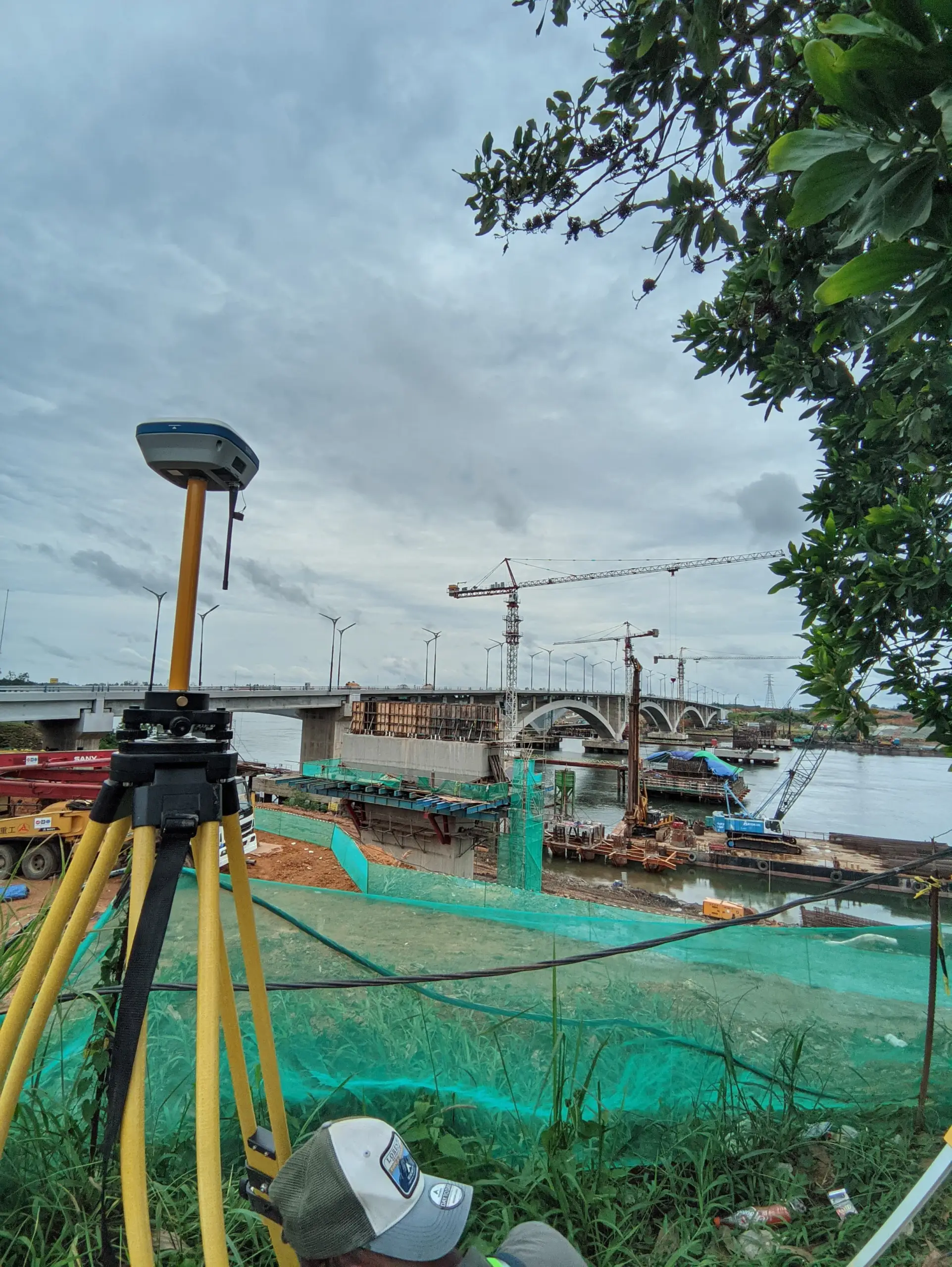
Applications include:
- Detailed Site and Topographic Measurements
- Volume Determination for Areas/Regions
- Benchmark and Ground Control Point (GCP) Positioning
- Data Collection for Mining Business Permits (IUP)
Equipped with advanced GNSS technology, we guarantee reliable results tailored to meet specific project requirements, from construction to utility planning.
Start Your GPS/GNSS Survey